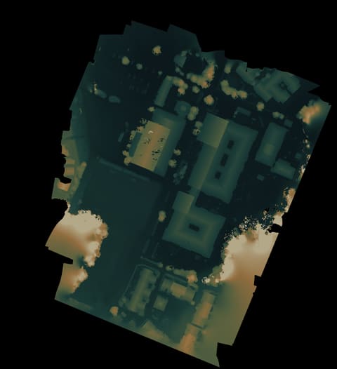
A tight little underpass scan with a map, terrain, and a depth-model view.
Overhead photo. Open it to zoom around the place.Height view. Useful for reading shape, slopes, and scan edges.Tilted height view. Tilt it, reset it, or look straight down.Point cloud in 3D. Experimental, but useful when the model lies.Textured 3D model. Rotate it like a small digital copy.Arrows switch views.