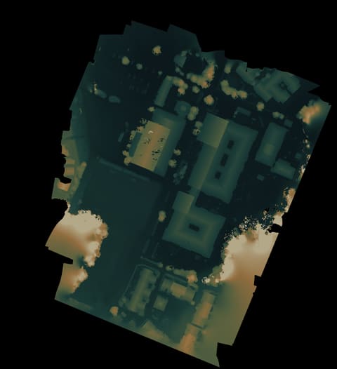
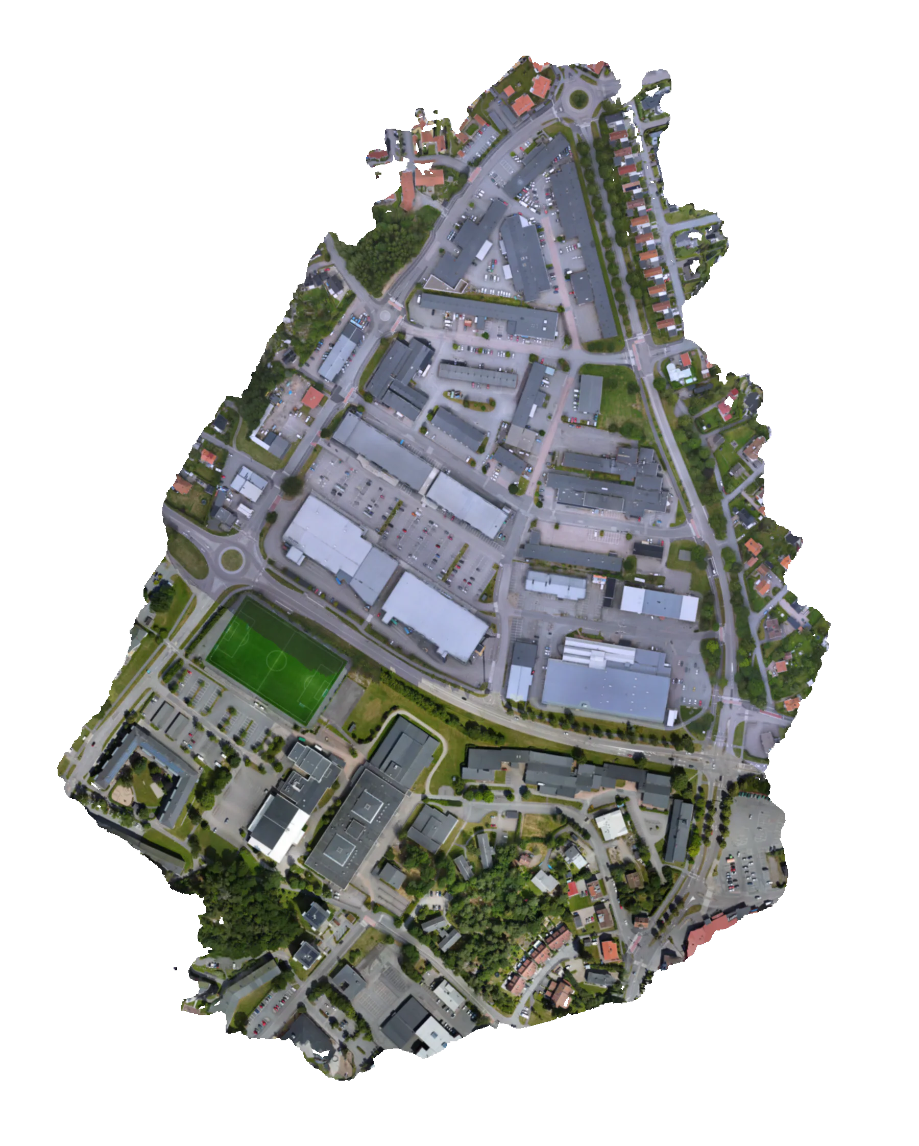
Nerd mode
Nerd facts
Alingsås Centrum Map
How this page delivers map, height view and point cloud.
Now loaded
Open a media view to see what it used.
Maps
Map views are stitched top-down images. Large ones are served as tiles so zooming in asks for detail only where you are looking.
That is why a map can open quickly and still have sharper pieces waiting deeper in the zoom.
Tiled web maps · Tile Map Service
Height maps
Terrain views use height data to show shape: slopes, bumps, gaps, and the places where reconstruction gets suspicious.
When a richer terrain package exists, it streams as small 3D pieces. It is useful for inspection, not a claim that the scan is survey-grade.
Quantized mesh terrain · 3D Tiles
Point clouds
A point cloud is the scene as many colored points instead of a solid mesh. It is good for seeing what the reconstruction actually measured.
Public clouds use streamable tiles when available, so the browser loads the part you are looking at instead of one huge source file.
PLY file format · Point Cloud Library
Why there are choices
There is no single perfect file for every screen, browser, and connection. Browse stays light; inspect spends more only after the page has a reason.
These details show what the page can actually load, so the controls stay honest.