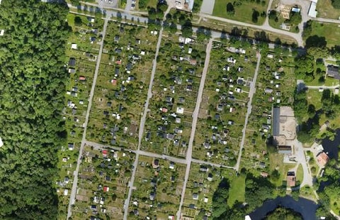
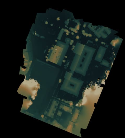
Local map from the scan. Open it to inspect the shared frame.Height view. Useful for reading shape, slopes, and scan edges.Tilted height view. Tilt it, reset it, or look straight down.Higher-detail terrain view. Experimental.Slide between matching map and height views.Point cloud in 3D. Experimental, but useful when the model lies.Arrows switch views.