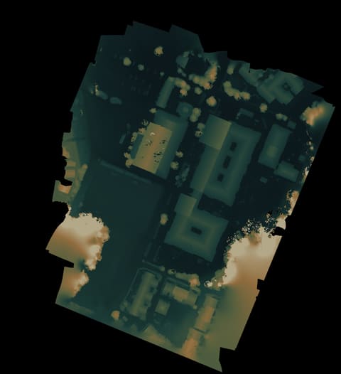
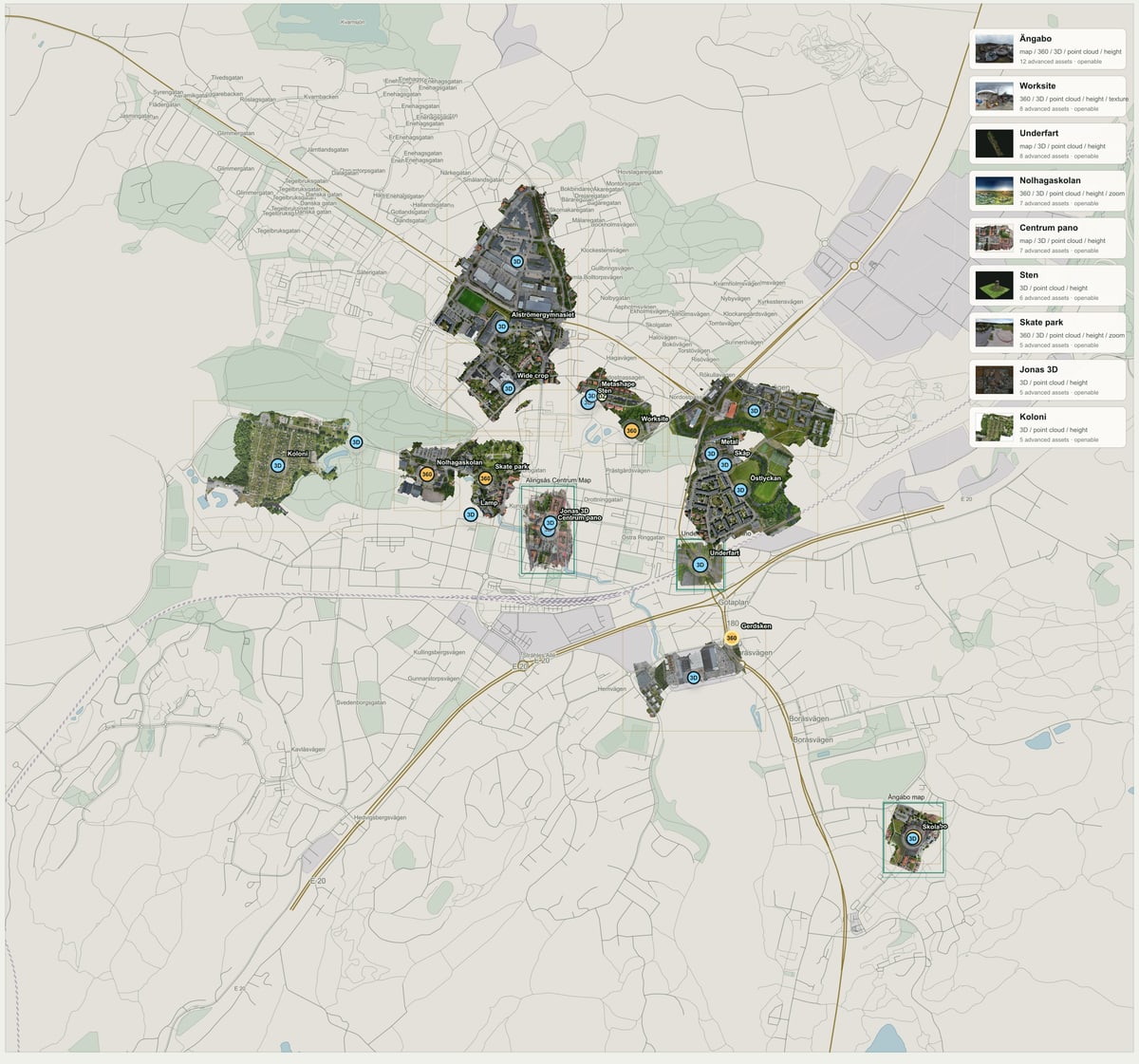
←ArchiveArchive / MapAlströmergymnasiet mapA school-area map over Alströmergymnasiet.Browse more mapsMapPhotosPoint cloudOverhead photo. Open it to zoom around the place.Photos from the same post.Point cloud in 3D. Experimental, but useful when the model lies.Arrows switch views.Preview image · Packaged map · 2.3 MBOpen mapFit imageZoom outZoom inCursor glideTilt panFullscreenDrag or use arrows11. Light my nightOpen full image20 Augusti 2021 - In anticipation of the lightsOpen full imageOktober 2021 - Red is the new green.Open full image‹›1 of 3Point cloudQualityHeight colorFullHeight colorAAPixelsAuto1x1.5x2xPointAuto1.41.82.43.2ScaleAutoScreenDepthAA on; pixels auto; point auto; scale autoCenterFullscreenTopTiltSteadyBalancedQuickStart point cloudShowing the map. The richer view needs JavaScript.RelatedSimilar threadPoint cloudMap12 juni 2026ÄngaboskolanDifferent anglePhoto16 juni 2026Coming soon...From the archivePhoto13 augusti 2022Drone inspectionOlderNolhagaskolan mapNewerSkatepark flyover
Point cloudQualityHeight colorFullHeight colorAAPixelsAuto1x1.5x2xPointAuto1.41.82.43.2ScaleAutoScreenDepthAA on; pixels auto; point auto; scale autoCenterFullscreenTopTiltSteadyBalancedQuickStart point cloud