Nerd mode
Nerd facts
Gpu post nr 3
A little machinery behind this page: video, map and height view.
What loaded
Open a view to see what actually loaded.
Videos
The standard path is MP4 because it works almost everywhere. Some posts also have adaptive playback when you want the heavier route.
A poster keeps browsing light. Opening the video is the signal to spend more bytes.
HLS · MPEG-DASH
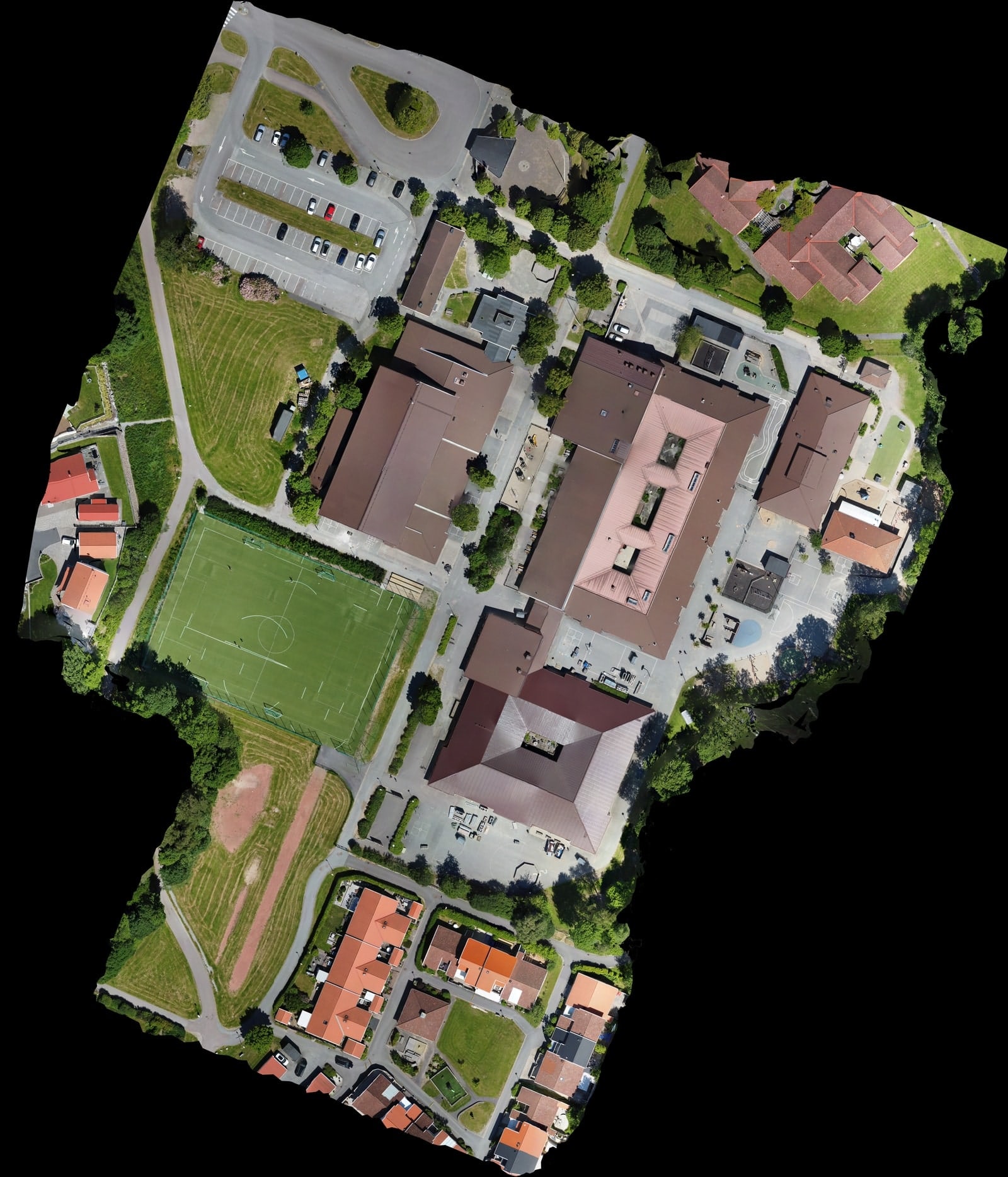
Maps
Map views are stitched top-down images. Large ones are served as tiles so zooming in asks for detail only where you are looking.
That is why a map can open quickly and still have sharper pieces waiting deeper in the zoom.
Tiled web maps · Tile Map Service
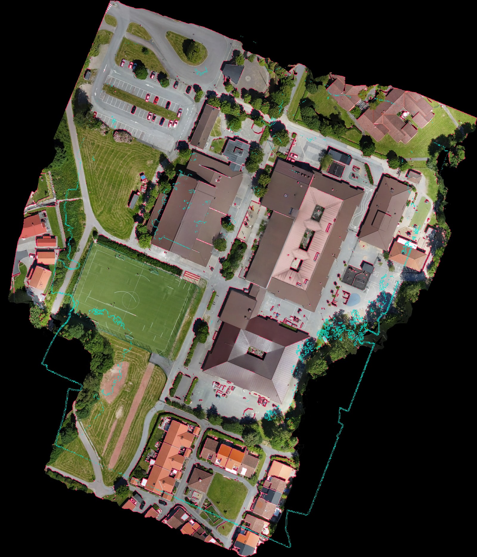
Height maps
Terrain views use height data to show shape: slopes, bumps, gaps, and the places where reconstruction gets suspicious.
When a richer terrain package exists, it streams in smaller pieces. Useful for looking closer. Not a survey claim.
Quantized mesh terrain · 3D Tiles
Why choices exist
One file does not fit every screen and connection. Browse stays light; inspect spends more when you ask.